
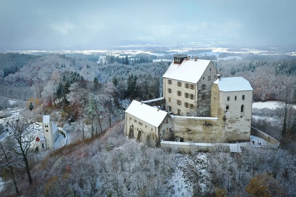
After an unusually mild start to autumn, temperatures have plunged dramatically over the past few weeks and an unmistakeable winter chill is in the air.
Over the weekend, the emergency services reported a spike in road accidents as drivers skidded on icy roads and tried to navigate snowy conditions.
This week there is set to be even more snowfall, even in the flatter and lower regions of the country.
In its weekly weather report, the German Weather Service (DWD) warned that temperatures could drop as low as -7C in some regions, with even the usually mild North Sea coastline seeing scattered snow showers throughout the week.
In Berlin and Brandenburg, the week will begin with a frosty spell and a fresh batch of snow from Monday evening through to Tuesday. Temperatures could hover in the minus single-digits between -1C and -4C, while southern Brandenburg and parts of Berlin could see between 1cm and 7cm of snow.
Drivers should take caution on the road as the chilly temperatures and snow could cause patches of black ice. More snowfall is expected on Tuesday and Wednesday.

In the southeast, especially around the Alps, heavy snowfall is also expected this week. In the Allgäu region, as much as 50cm of snow is expected, and between 15cm and 30cm in other high-altitude regions.
Residents of other parts of Bavaria won't miss out on the winter wonderland, however. Even in the more northerly region of Frankonia around 1-5cm of snow is expected, though this may make way to wetter conditions and sleet as the week progresses.
In the central German state of Hesse, the week could start with severe thunderstorms and snow, especially in the mountainous regions. In the low mountain ranges, for example, 10 to 15 cm of fresh snow throughout Monday. From the Westerwald to the Taunus and in the Vogelberg area, as much as 20cm of snow could fall within 12 hours.
READ ALSO: Germany braces for plunging temperatures and heavy snow
At lower altitudes, icy rain and sleet is expected, though this could turn into snow as temperatures plunge in the evening. More snowfall and frost are expected throughout the week, with temperatures dipping as low as -6C on Thursday and Friday.
Stormy and wet conditions in the west
In Baden-Württemberg, the heaviest snowfall will hit in the Black Forest, where 5-10cm will fall in lower altitude areas and 20-40cm could fall higher up in the mountains.
Things will take a stormier and rainier turn later in the week, however, as showers, high winds and overcast skies spread across the southwest.
In North Rhine-Westphalia, there is likely to be snow at higher altitudes, but most residents of the lowlands will experience a much less romantic start to the week.
According to DWD, heavy rainfall, grey skies and sleet will kick off the week, though the central mountains will see around 10cm of fresh snow.
As the week progresses, temperatures could sink into the minus range, with the mercury slipping to -4C in the latter half of the week.
Comments