
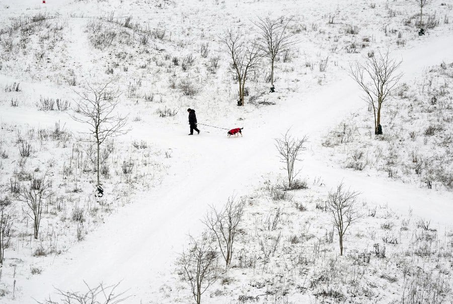
The German Weather Service (DWD) is warning of a "full-blown storm" for Wednesday as snow continued to coat the country on Tuesday.
Heavy snowfall is expected in the centre and north of Germany starting Tuesday night. To the south, "prolonged and heavy freezing rain" will fall.
DWD warned that the increasingly snowy weather would have "widespread effects on road and rail traffic,” with a risk of accidents. Throughout the day Tuesday, a number of minor crashes had already been reported by police.
In large parts of the central state of Hesse, 15 to 30 centimetres of snow are expected to fall in 12 to 24 hours, with higher amounts not ruled out.
READ ALSO: How to stay safe and comfortable while cycling in Germany this winter
There will also be persistent and sometimes heavy snowfall north of the Main River.
Freezing rain could also fall until the evening hours on Wednesday, especially along and south of the Main and Moselle rivers, with widespread black ice.
The DWD warned of "extreme ice build-up on objects, trees, and overhead lines as well as an increased risk of ice breakage".
The lows will range from 6C on the High Rhine to -6C in northern Germany.
What is the weather outlook for the rest of the week?
On Tuesday evening, rainfall will change to snow from the Main River towards the south of the country. From Rhineland-Palatinate and southern Hesse to Thuringia and Saxony, up to 15 centimetres of fresh snow will fall.
During the course of the day, snow will continue to fall down in the southeastern half of the country, initially raining at lower altitudes and later leaving the whole landscape white.
The mercury is set to read between 0 and 4C, rising to 9C in the southwest by midday.
For Thursday night, the DWD is forecasting further snowfall in the Alps, as well as heavy snow showers and flash thunderstorms near the North Sea.
On Friday, there are to be further snow showers along the entire coast, some with more than 10 centimetres predicted in a short space of time, as well as scattered thunderstorms.
Otherwise, some sun is set to emerge from the clouds, with the mercury reading between 0 and 4C.
In the night to Saturday, snow showers may still occur on the coast and in the eastern highlands. It will cool down to -2C and -8C, dipping in more mountainous areas to -10C.
Comments